

Site Planning Documentation (PZU) is a comprehensive section of project documentation that defines the placement of a proposed building or structure within a specific land plot and provides the written justification for the planning solutions adopted. The document combines drawings with explanatory information, making it possible to assess whether the proposed development is appropriately positioned on the site and complies with applicable planning and construction requirements.
PZU is used in the design of capital construction projects and forms an important part of the documentation required for the coordination of design solutions and regulatory review. The scope of the section depends on the purpose of the facility, the characteristics of the land plot, planning restrictions, and the requirements set out in the project brief.
Why Is Site Planning Documentation Necessary?
The primary purpose of PZU is to justify the location of a building within a specific site while taking into account existing development, land boundaries, utility infrastructure, transport facilities, and safety requirements.
When preparing PZU, the following factors must be considered:
- land plot boundaries and area;
- permitted land use;
- urban planning restrictions and regulations;
- building lines and existing development;
- protected, sanitary, and restricted-use zones;
- existing and proposed utility networks and technical corridors;
- existing and proposed site levels and terrain;
- fire safety requirements;
- vehicle and pedestrian circulation;
- landscaping and site improvement requirements.
Therefore, PZU is not simply a drawing showing a building placed on a site plan. It is a coordinated set of planning solutions demonstrating how the proposed development will integrate into the existing site and surrounding infrastructure.
What Is Included in Site Planning Documentation?
The scope of PZU is determined by applicable regulations, the project brief, and the specific characteristics of the facility. As a rule, the documentation includes both graphical and written components.
The graphical materials illustrate the existing and proposed conditions of the site. Drawings typically show the land plot boundaries, existing and proposed buildings, access roads, internal driveways, pedestrian routes, utility networks, landscaping, and other elements relevant to the planning solution.
The written section provides the rationale behind the proposed planning decisions. It describes the main characteristics of the site, provides information about the proposed facility, and explains why the building has been positioned in the selected part of the land plot.
Building Site Plan and Building Placement
One of the key components of PZU is the site plan showing the proposed building placement. It defines the exact position of the building in relation to the land plot boundaries, existing structures, roads, and other site elements.
When preparing the drawing, designers consider the required distances between buildings and structures, fire safety requirements, emergency vehicle access, the location of utility networks, and restrictions applicable to the particular land plot.
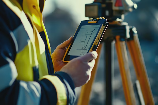
Accurate geodetic positioning is particularly important. Building coordinates and elevation levels must correspond to the engineering survey data, as these provide the basis for subsequent architectural, structural, and engineering design.
Site Grading and Vertical Planning
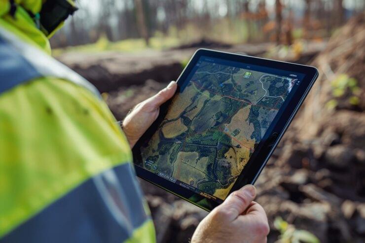
PZU also takes into account the existing terrain and proposed site levels. Vertical planning is required to ensure stable placement of the building, proper surface water drainage, and compliant gradients for roads, driveways, and pedestrian routes.
Where the site has significant differences in elevation, additional solutions may be required, including retaining walls, embankments and slopes, stairs, ramps, drainage channels, and other site engineering elements.
Proper vertical planning helps prevent the accumulation of rainwater and meltwater around the building and reduces the risk of excessive moisture in the soil within the surrounding area.
Vehicle and Pedestrian Circulation
The PZU design must provide safe and efficient movement throughout the site. The project defines vehicle entrances and exits, internal roads, manoeuvring areas, parking spaces, and pedestrian routes.
For public, industrial, and commercial facilities, additional requirements may apply to fire service access, loading and unloading areas, and the separation of vehicle and pedestrian flows.
Where required, the design also provides accessible routes, ramps, and other facilities to ensure access for people with reduced mobility.
Utility Networks and Site Restrictions
The placement of a building cannot be considered independently of existing and proposed utility infrastructure. PZU takes into account water supply, sewerage, heating, gas supply, electrical networks, telecommunications, and other engineering systems.
Where easements, protection zones, or technical corridors exist, they must be reflected in the project documentation. The location of the building and other structures must allow utility networks to be operated, maintained, and repaired without creating unacceptable restrictions.
Landscaping and Site Improvement
Planning solutions must address not only the placement of the building but also the future use and maintenance of the surrounding site. Depending on the purpose of the facility, PZU may include pedestrian areas, functional outdoor spaces, landscaping, street furniture, external lighting, and other site improvement elements.
The design should maintain an appropriate balance between built-up areas, vehicle circulation areas, and landscaped zones. The quantity and arrangement of landscaping and site improvement elements depend on the functional purpose of the facility and applicable regulatory requirements.
What Information Is Required to Prepare PZU?
High-quality site planning documentation cannot be developed without reliable baseline information. Depending on the project, the designer may require:
- legal documents confirming rights to the land plot;
- the relevant urban planning documentation for the site;
- topographical survey data;
- engineering survey results;
- technical connection conditions for utility networks;
- information about existing buildings and structures;
- data on sanitary, protection, and other restricted-use zones;
- the project brief.
The more accurate and up-to-date the baseline information, the lower the risk of having to revise planning solutions at later stages of the design process.
The Importance of PZU in Construction
Site Planning Documentation connects the proposed building with the actual conditions and constraints of the land plot. It allows designers to verify the relationship between buildings, utility networks, access roads, pedestrian routes, and landscaping before construction begins.
Errors at the site planning stage can result in conflicts with existing utilities, inadequate access road widths, non-compliance with required separation distances, drainage problems, or the need to revise project documentation.
For this reason, PZU should be developed using up-to-date engineering survey data and current planning restrictions. A comprehensive approach to site planning makes it possible to identify site constraints at an early stage and develop a technically justified scheme for locating the proposed facility.
Well-prepared site planning documentation provides a reliable basis for subsequent architectural and engineering design, helps coordinate decisions between different sections of the project, and reduces the risk of costly changes during construction.