

The execution of any commercial or industrial project is inextricably linked to land and property relations. For a modern enterprise, cadastral tasks are not just a formality, but a critically important stage in legalizing assets. Registering land for development, subdividing a production site, placing a new workshop on the state cadastral register, registering utility networks, establishing a public easement, or setting up zones with special conditions of territory use (ZOUIT)—all of this requires flawless legal and technical precision.
Errors in cadastral documentation can lead to construction halts, refusals to commission a building, or legal disputes with neighbors and regulatory authorities. Therefore, when searching for a "cadastral engineer in Lipetsk," it is vital for businesses to find not just a contractor with the lowest price, but a highly qualified expert. Such a specialist must deeply analyze the title documents, select the sole correct cadastral procedure, and prepare error-free data for entry into the Unified State Register of Real Estate (USRRE / ЕГРН).
Who is a Cadastral Engineer and What is Their Liability?
According to Federal Law No. 221-FZ, a cadastral engineer is an individual who holds a valid qualification certificate and is mandatorily a member of a specialized Self-Regulatory Organization (SRO).
Their work lies at the intersection of jurisprudence and geodesy. The engineer performs high-precision measurements on-site, determines the coordinates of turning points, analyzes archival documents, and prepares the final documentation: boundary plans, technical plans, and inspection reports. All electronic documents are signed by the engineer using their Enhanced Qualified Electronic Signature (EQES). They can work either as a sole proprietor or as an employee of a legal entity (a cadastral company).
It is important to understand: the decision to register a property and its rights is always made by a state registrar at Rosreestr (Federal Service for State Registration). The cadastral engineer bears strict liability (up to criminal charges and disqualification) for the accuracy of the prepared documents, which form the basis of the registrar's legal review.
What Cadastral Services Do Legal Entities and Developers Need?
The needs of businesses differ significantly from those of individuals. When looking for "cadastral works in Lipetsk," commercial enterprises and developers most frequently require the following comprehensive services:
- Land Operations: Forming new land plots from municipal property, as well as subdividing, consolidating, and redistributing existing industrial sites.
- Boundary Clarification: Correcting registry (cadastral) errors in the USRRE, aligning actual boundaries with documentary ones, and resolving overlaps.
- Technical Plans (for Capital Construction Projects): Preparing documents to register newly constructed buildings, structures, and incomplete construction projects.
- Accounting for Changes: Entering new data into the USRRE following reconstruction, redevelopment, or a change in the intended use of a commercial space.
- Infrastructure: Highly complex cadastral registration procedures for highways, trunk pipelines, electrical cable lines, and other linear facilities.
- Layout Schemes: Preparing schemes of land plot layouts on the cadastral territory plan for administrative approval.
- Restrictions and Encumbrances: Establishing public and private easements for access or utility routing, and registering protected zones (ZOUIT, such as utility right-of-ways or sanitary protection zones).
- Inspection Reports: Documenting the demolition or destruction of a facility to legally remove it from the cadastral register and terminate property tax assessments.
Expert Advice: Cadastral works in Lipetsk are executed most efficiently when seamlessly integrated with the development of urban planning documentation (PPT and PMT) and architectural design. Involving a cadastral specialist early in the project helps avoid fatal discrepancies between design solutions and the strict requirements of the USRRE.
What Does Land Surveying for Businesses Entail?
Land surveying (boundary demarcation) is not simply a surveyor visiting a site with an instrument. It is a complex set of geodetic and cadastral operations aimed at establishing, restoring, or securing land tenure boundaries.
The land surveying process for a commercial plot includes the following stages:
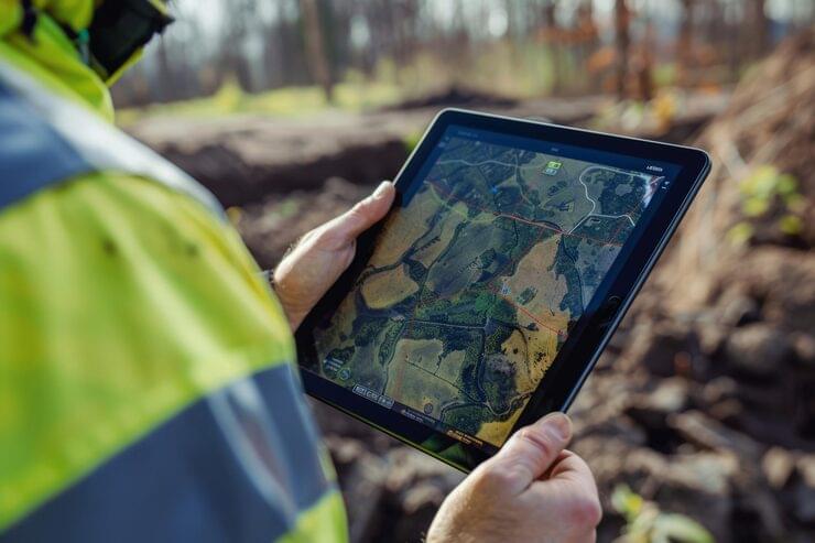
- Preliminary Analysis: Gathering data from the USRRE, studying title documents, cartographic materials, and master plans.
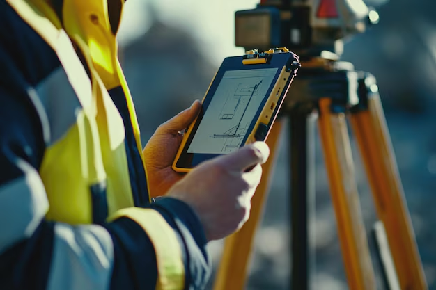
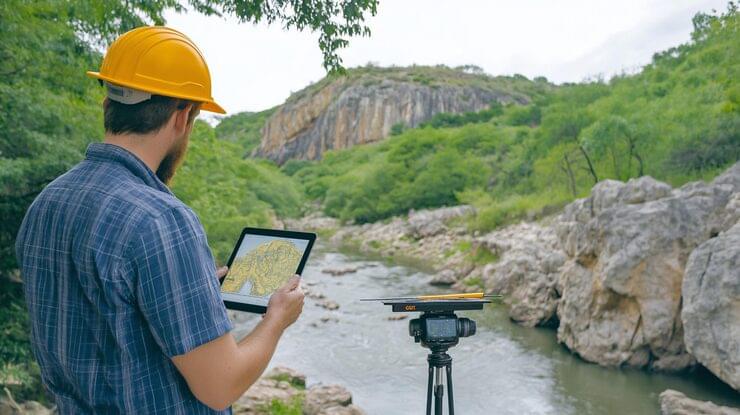
- Field Geodetic Measurements: Deploying a field crew to coordinate the contours of the plot using high- precision GPS/GNSS receivers and total stations.
- Office Processing: Calculating coordinates, computing areas, and checking for boundary intersections (overlaps) with adjacent land plots.
- Approval Procedure: Conducting mandatory boundary coordination with the owners of adjacent plots (via individual acts or mass media publication) if the boundaries were not established previously.
- Forming the Boundary Plan: Packaging all textual data, graphic data, and coordination acts into a single XML document.
The result of the service is a completed boundary plan. Note: surveying does not automatically mean erecting a fence or registering property rights. If boundary overlaps, old USRRE errors, or neighbor disputes are discovered, an additional land management expertise or a court resolution may be required.
Cadastral Engineer in Lipetsk: Pricing and Cost Calculation
In the field of cadastral activities, there is no single fixed state price for B2B services. According to Article 36 of Law No. 221-FZ, the cost of work is determined exclusively by mutual agreement and formalized in a contract with a fixed estimate. That is why a realistic commercial proposal can only be provided after a thorough analysis of your specific task.
The final cost of cadastral work for a legal entity is influenced by the following factors:
- The type of facility (building, premises, linear structure) and the quantity thereof.
- The total area, the complexity of the boundary configuration, and the number of turning points.
- For linear facilities—their length and the number of municipalities they cross.
- The completeness and quality of initial title and design documents.
- The necessity of conducting large-scale field geodetic surveys.
- The presence of intersections, boundary overlaps, cadastral errors, or latent land disputes.
- The need for accompanying document submission to the MFC/Rosreestr and promptly addressing any registrar remarks.
How to Choose a Professional Cadastral Engineer
When comparing dozens of offers, businesses must evaluate more than just the final figure in the estimate. Before signing a contract, verify the contractor against the following criteria:
- Official Status: The specialist must be a member of a specialized SRO and hold an active status in the register of cadastral engineers on the official Rosreestr website.
- Success Statistics: You can check an engineer's statistics in the Rosreestr register: the percentage of successful cadastral registration decisions versus the number of suspensions and refusals. This is a direct indicator of competence.
- Specific Experience: Registering a summer cottage and a 50-kilometer gas pipeline are fundamentally different tasks. For industrial sites, linear facilities, and protected zones, look for a specialist with a proven B2B portfolio.
- Pre-project Analysis: A true professional will never quote exact prices and deadlines prior to a detailed review of your documents.
- Transparent Contract: The contract should clearly define the final deliverable, a fixed estimate without hidden fees, and the obligation to correct Rosreestr remarks free of charge in case of suspension.
What Deliverable Should the Client Expect?
The material result of cadastral work is a boundary plan (for land), a technical plan (for capital construction projects), or an inspection report. Under current legislation, the primary form of these documents is an electronic XML file certified by the engineer's Enhanced Qualified Electronic Signature (EQES). A hard copy with a stamp is prepared only if expressly stipulated in the contract.
The main quality criterion for cadastral work is the ability to seamlessly use the prepared document to register the facility without receiving "suspensions" due to the engineer's own technical errors. However, it is important to realize: even perfectly drafted technical plans cannot magically resolve initial discrepancies in your title documents or substitute for a missing building permit. A competent cadastral engineer must warn you about these legal risks before you sign the acceptance certificate.
Comprehensive Cadastral Services at "Razvitie-Lipetsk"
The engineering firm "Razvitie-Lipetsk" performs a full spectrum of cadastral works throughout Lipetsk and the Lipetsk region. For complex linear and industrial projects, our specialists also travel to other regions of the Central Federal District. Our primary clients are legal entities, developers, utility providers, and manufacturing enterprises.
Our main advantage is a comprehensive approach. Under a single contract, we combine geodetic surveys, PPT/PMT development, architectural design, and cadastral registration. This guarantees 100% alignment between design boundaries, the actual situation on the ground, and Rosreestr requirements.
Frequently Asked Questions (FAQ)
- How can I find out if a land plot is vacant before surveying it?
- Initial information can be obtained for free on the Rosreestr Public Cadastral Map (PCM). However, it updates with a delay and does not show plots whose rights originated long ago but whose boundaries were never clarified in the new coordinate system. Only a cadastral engineer can provide an exact answer after ordering current USRRE extracts and analyzing the territory.
- Is it possible to register a building if the land beneath it has not been surveyed?
- From a technical standpoint, preparing a technical plan is possible. However, Rosreestr is highly likely to suspend registration actions because tying a building to the terrain requires exact land plot boundary coordinates. It is highly recommended to survey the land first, and then register the capital construction project.
- What should I do if surveying reveals an overlap with a neighbor's plot?
- This is known as a registry (cadastral) error. If the neighbor agrees, the cadastral engineer prepares a boundary plan to correct the error by mutual consent. If the neighbor refuses to acknowledge the error, the boundary dispute must be resolved exclusively through the courts, typically involving the appointment of a land management expertise.