

Accurate Digital Data for the Design, Reconstruction, and Operation of Facilities
"Razvitiye-Lipetsk" performs a full range of laser scanning services and 3D modeling of buildings, structures, industrial facilities, and territories.
We ensure the acquisition of reliable object geometry with millimeter-level accuracy and convert it into an engineering digital model ready for design, BIM environments, and expert review.
Laser scanning is the modern standard for engineering surveys. 3D modeling is a practical tool for decision-making.
Laser Scanning Is Essential For:
- reconstruction and technical upgrading of facilities;
- surveying existing buildings and structures;
- developing design and working documentation;
- creating BIM models;
- monitoring as-built documentation;
- designing roads, power lines, and pipelines;
- creating digital terrain models;
- monitoring deformations and displacements;
- performing engineering surveys.
What Is Laser Scanning
The technology is based on measuring the travel time of a laser pulse to the object and back. This produces a "point cloud" — an array of coordinates (X, Y, Z) with high density and accuracy. This makes it possible to:
- record the actual position of structures;
- obtain complete geometry without selective measurements;
- eliminate "human error";
- reduce field work time by 10–20 times compared to classical surveying;
- create a digital archive of the facility.
Point clouds and 3D models are officially recognized by regulatory standards as an acceptable result of engineering surveys and can be used in BIM environments.
Types of Laser Scanning
1. Terrestrial Laser Scanning
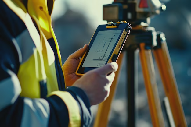
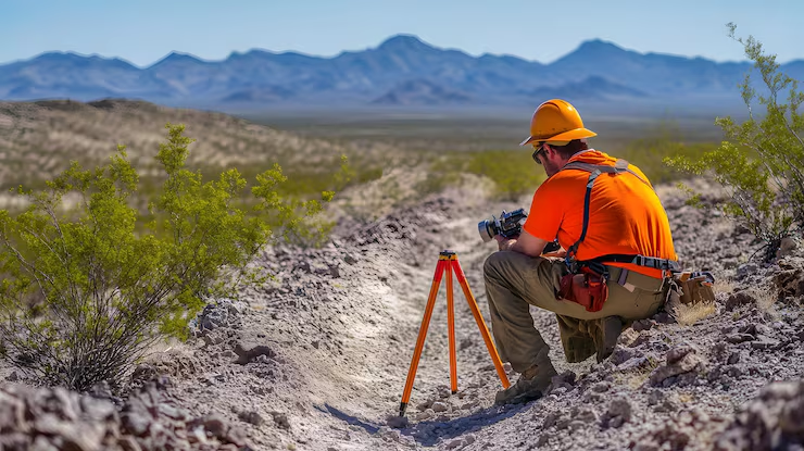
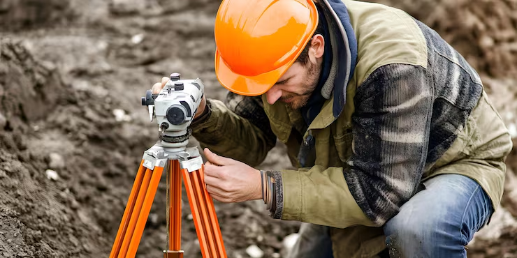
High-precision surveying of buildings, workshops, equipment, facades, and structures. Optimal for reconstruction, surveys, and as-built inspection.
Regulated by GOST R 72225-2025.
2. Handheld / Mobile Scanning (SLAM)
Rapid scanning of premises and complex spaces without tripods. Suitable for warehouses, production facilities, and historical buildings.
Often used in combination with terrestrial scanning: mobile scanning for rapid coverage, terrestrial scanning for capturing key elements with enhanced accuracy.
3. Airborne Laser Scanning (LiDAR)
Used for large territories and linear facilities.
It makes it possible to:
- cover hundreds of hectares in a single flight;
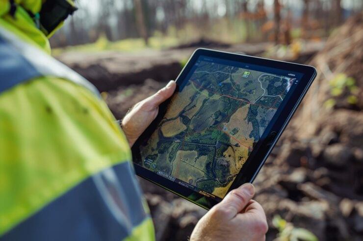
- obtain a digital terrain model beneath vegetation;
- achieve accuracy of 3–5 cm;
- work with roads, power lines, pipelines, and quarries.
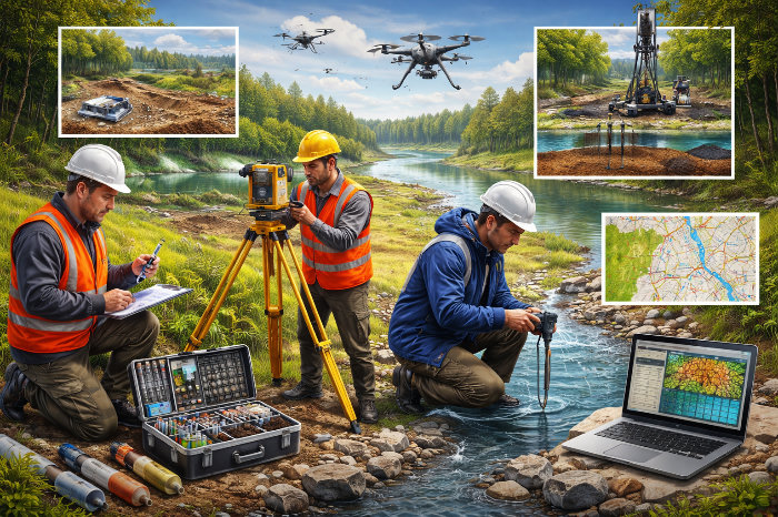
Regulated by GOST R 72263-2025, GOST R 71863-2024, and GOST R 71886-2024. In the Lipetsk region, the use of UAVs is restricted due to airspace safety requirements. In other regions (where such flights are permitted), the work is performed in full accordance with regulatory standards.
3D Modeling Based on Laser Scanning
Laser scanning provides the source data. 3D modeling delivers the engineering result.
We create accurate digital models of existing facilities for designers, contractors, and operating services.
Scope of Work
1. Preparatory Stage
- analysis of the technical specification;
- site reconnaissance;
- establishing a reference geodetic network;
- selecting the scanning method;
- agreeing on the model's level of detail (LOD).
2. Field Work
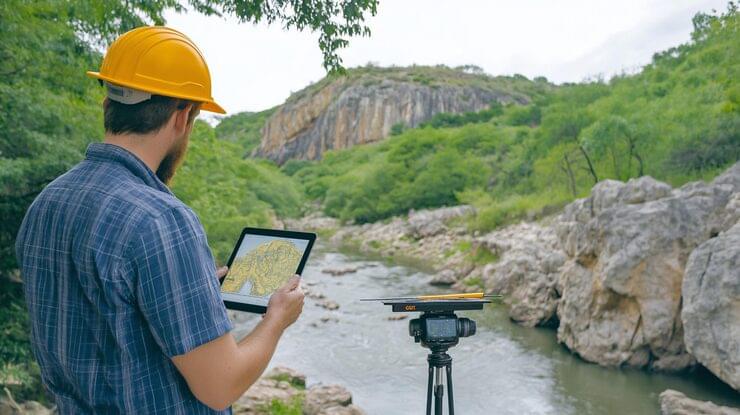
- placement of scanners and control targets;
- data collection with the required overlap;
- accuracy and completeness verification of the survey;
- georeferencing to the coordinate system.
3. Office Data Processing
- registration and stitching of point clouds;
- noise filtering;
- data classification;
- creation of a unified digital model;
- accuracy verification.
4. Creating the 3D Model (Depending on the task, the following are produced:)
- architectural model (walls, floor slabs, roofing);
- structural model;
- utility networks model;
- process equipment model;
- digital terrain model (DTM/DEM);
- digital twin of the facility.
The model can be produced in IFC, RVT, DWG, DXF, OBJ, and other formats — with integration into a BIM environment.
Deliverables
The client receives:
- a high-density point cloud;
- an engineering-accurate 3D model;
- as-built drawings, sections, and elevations;
- as-built schematics;
- area and volume calculations;
- a digital terrain model;
- a technical report confirming accuracy.
The documentation is fully ready for submission to designers, expert review, and operating services.
Advantages of "Razvitiye-Lipetsk"
- modern laser scanning equipment;
- experience working at operating industrial sites;
- integration of scanning with engineering surveys;
- work performed in accordance with current GOST standards;
- a team of engineers with hands-on BIM experience;
- a comprehensive approach — from survey to finished model;
- optimal timelines and transparent pricing.
Order Laser Scanning and 3D Modeling
To calculate the cost and select the optimal solution, submit a request on our website or contact us.
The specialists at "Razvitiye-Lipetsk" will:
- help develop the technical specification;
- select the optimal scanning method;
- determine the required level of model detail;
- prepare an accurate and verifiable digital deliverable.