

Engineering hydrometeorological surveys (IGMI) are a set of investigations carried out to assess the climatic and hydrometeorological conditions of a site intended for construction. The resulting data is used to develop design solutions, calculate environmental loads, plan drainage systems, provide engineering protection for the site, and ensure the safe operation of the future facility.
In Russian construction practice, engineering hydrometeorological surveys are one of the main types of engineering surveys. Their scope and execution are regulated, among other documents, by SP 47.13330.2016 “Engineering Surveys for Construction. General Provisions”.
Why Are Engineering Hydrometeorological Surveys Necessary?
Climatic conditions have a direct impact on the architectural, structural, and engineering solutions adopted for a building. During the design process, it is necessary to consider not only average annual temperatures but also extreme temperature values, wind conditions, precipitation, snow cover, and other environmental parameters.
Engineering hydrometeorological surveys provide the baseline data required for:
- determining design meteorological parameters;
- assessing wind and snow loads;
- designing drainage and stormwater systems;
- determining the environmental conditions affecting building structures;
- assessing the risk of flooding and waterlogging;
- developing engineering protection measures for the site;
- designing facilities located near rivers, lakes, reservoirs, and other water bodies;
- assessing hazardous hydrometeorological processes;
- preparing design documentation for regulatory review and approval.
The scope of the survey is determined based on the intended use of the future facility, the characteristics of the site, the availability of existing data, and the complexity of the local environmental conditions.
What Is Included in an Engineering Hydrometeorological Survey?
Engineering hydrometeorological surveys include both desk-based and field investigations. At the initial stage, specialists collect and analyse available information, including meteorological and hydrological observation data, mapping materials, information on local water bodies, and previously completed surveys.
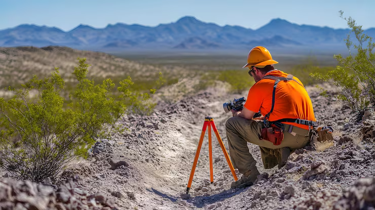
Where necessary, a reconnaissance survey of the site is carried out. Specialists assess the actual condition of the territory, surface runoff patterns, the presence of streams and watercourses, terrain characteristics, and other factors that may affect the proposed development.
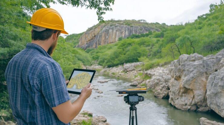
For areas with significant hydrological features, the scope of work may include hydrometric, hydrological and morphological surveys, morphometric measurements, and observations of water levels and flow rates. River channel and floodplain changes, ice conditions, and bank erosion processes may also be investigated.
What Meteorological Parameters Are Analysed?
The meteorological component of an engineering hydrometeorological survey is focused on obtaining the parameters required for the design and construction of a facility.
Depending on the technical requirements, the following parameters may be analysed:
- air temperature and humidity;
- atmospheric precipitation;
- wind speed and direction;
- atmospheric pressure;
- snow cover characteristics;
- ground surface temperature;
- duration of specific climatic periods;
- hazardous and adverse weather phenomena.
Design values are particularly important because they are used by engineers when selecting structural and building-services solutions and determining the required level of protection against environmental loads.
Hazardous Hydrometeorological Processes
One of the key objectives of an engineering hydrometeorological survey is to identify natural factors that may pose a risk to construction or the subsequent operation of a facility.
Depending on the region, these factors may include floods, inundation, waterlogging, intensive surface runoff, river channel changes, bank erosion, snow avalanches, mudflows, and other hazardous natural processes.
For sites located near water bodies, particular attention is paid to design water levels and the potential risk of flooding. Where a site is characterised by complex hydrological conditions, the survey programme may include additional monitoring and specialised investigations.
IGMI for Different Types of Construction Projects
The scope of engineering hydrometeorological surveys depends largely on the type and scale of the proposed facility.
For a residential or public building located in a relatively well-studied area, an analysis of historical data combined with the necessary calculations may be sufficient. For major industrial facilities, transport infrastructure, linear structures, or developments located near water bodies, the scope of investigation is generally more extensive.
For roads, railways, pipelines, bridges, and other linear infrastructure, the survey must also consider the number of watercourses crossed by the route, the characteristics of river channels and floodplains, and the conditions at watercourse crossings.
In areas exposed to hazardous natural processes, the IGMI programme is developed with consideration of the specific environmental risks and the engineering protection measures required for the proposed facility.
Deliverables of an Engineering Hydrometeorological Survey
Upon completion of the investigation, a technical report on the results of the engineering hydrometeorological survey is prepared. It contains the collected baseline information, results of field investigations and observations, calculated hydrological and meteorological parameters, identified hazardous processes, and recommendations for the design stage.
The content of the technical report is determined by the survey brief, the design stage, the purpose of the facility, and the complexity of the hydrometeorological conditions at the site.
Why Should IGMI Be Carried Out Before Design?
Engineering hydrometeorological surveys allow designers to make decisions based on actual and calculated characteristics of the site rather than relying solely on general climatic data for the wider region.
An incorrect assessment of snow, wind, temperature, or hydrological conditions can result in design modifications, additional construction costs, and difficulties during project implementation.
For this reason, engineering hydrometeorological surveys should be considered an integral part of a comprehensive engineering survey programme, alongside engineering geodetic, geological, and environmental surveys. The scope of the investigation should be developed specifically for each project, taking into account its purpose, location, scale, and design requirements.
High-quality engineering hydrometeorological surveys provide designers with reliable baseline information, help identify environmental constraints at an early stage, and support the development of technical solutions appropriate to the actual conditions of the construction site.