

Hydrometeorological Surveys: Importance, Methods, and Stages
Hydrometeorological surveys are a set of studies aimed at examining the climatic and hydrological conditions of a construction site. This work is essential for safe and durable construction, proper design of engineering systems and foundations, and the prevention of emergencies caused by natural factors.
Modern construction projects require precise accounting of hydrometeorological characteristics: the level and fluctuations of groundwater and surface water, precipitation intensity, flooding probability, wind loads, and other climatic factors. Without this data, it is impossible to correctly calculate structural loads, ensure the stability of buildings and engineering structures, or plan drainage and water diversion systems.
Why Hydrometeorological Surveys Are Necessary
The main goal of hydrometeorological surveys is to obtain reliable data on the hydrological and climatic regime of the territory. This information is used by designers and builders to:
- select the optimal foundation type and structural solutions;
- develop water drainage and dewatering systems;
- assess the risk of flooding and soil washout;
- determine wind loads on structures;
- take measures to protect facilities from extreme weather events;
- ensure the durability and safety of construction.
Accurate hydrometeorological data reduces financial risks and prevents emergencies caused by natural forces, which is especially important for large infrastructure and industrial facilities.
Main Objectives of Hydrometeorological Surveys
The scope of work includes the following tasks:
- studying the hydrological regime of the construction site, including the groundwater level, seasonal fluctuations, and subsurface flows;
- assessing the impact of precipitation, floods, snow cover, and flood waves on future structures;
- studying wind and climatic conditions, including wind speed, direction, and frequency;
- identifying zones of flooding, washout, and soil erosion;
- analyzing the influence of climatic factors on the durability and service life of building materials.
The results of these studies allow engineers and architects to develop a design that accounts for all natural factors, improve structural reliability, and ensure safe operation of the facility.
Stages of Hydrometeorological Surveys
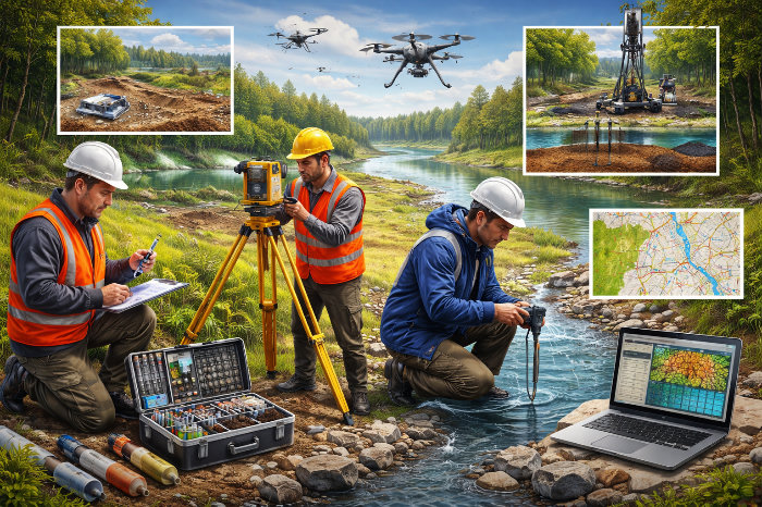
The survey process is carried out in stages, including both field and laboratory studies as well as office data processing.
1. Preparatory Stage
At this stage, archival materials and historical data on the climate and hydrological regime of the region are collected, and statistics on precipitation, floods, and wind loads are analyzed. A research program is also drawn up, and measurement methods and observation points are determined.
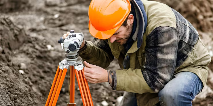
2. Field Works
The field stage includes:
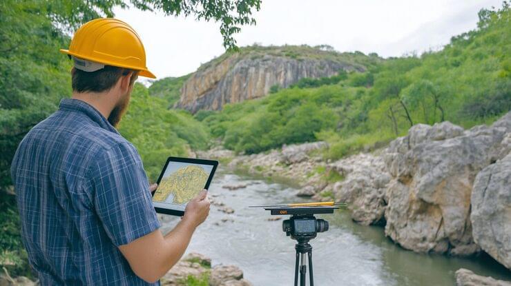
- installation of hydrological stations and observation points;
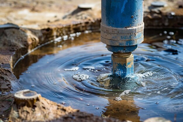
- measurement of groundwater and surface water levels;
- observation of flood events and river flows;
- recording of precipitation and temperature;
- measurement of wind speed and direction.
Field observations are conducted throughout the season and, if necessary, over several years to obtain statistically reliable data on hydrometeorological conditions.
3. Laboratory and Office Studies
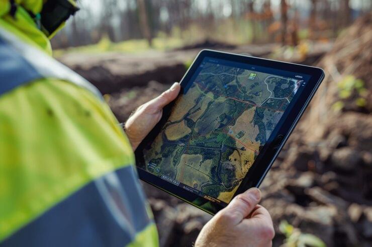
After field observations are completed, the data is processed and analyzed. Laboratory studies may include water chemistry analysis, assessment of groundwater and surface water quality, and evaluation of the aggressiveness of the environment. Office processing includes the creation of graphs, maps, and hydrological models that help assess the risk of flooding, erosion, and other adverse factors.
4. Preparation of the Report and Recommendations
The final document contains:
- a description of the hydrological and climatic regime of the site;
- the results of observations and measurements;
- calculated wind load characteristics and flooding probability;
- recommendations for designers on the choice of foundation type, drainage systems, and protective structures;
- a risk assessment and mitigation measures.
The report is an official document used in the design, approval, and construction of facilities.
Hydrometeorological Research Methods
Various methods are used to obtain accurate information:
- hydrological observations and water level measurements;
- meteorological observations of precipitation, temperature, and wind loads;
- geophysical methods for assessing soil structure and permeability;
- modeling of floods, washout, and hydraulic processes;
- analytical calculations based on statistical data and historical observations.
The combined application of these methods provides a complete picture of the hydrometeorological situation and an assessment of the impact of natural factors on construction.
Regulatory Framework
Hydrometeorological surveys are conducted in accordance with the requirements of SNiP building codes, SP codes of practice, GOST standards, and regional standards. All work must be performed by accredited organizations following measurement and data processing methodologies approved by regulatory documents.
Practical Importance for Construction
The results of hydrometeorological studies make it possible to:
- select the type and depth of the foundation;
- design drainage and water diversion systems;
- account for wind and snow loads in structural design;
- reduce the risk of flooding and soil erosion;
- ensure safe operation of the facility and durable construction.
This data is especially important for the construction of bridges, roads, hydraulic structures, industrial facilities, and residential complexes in areas with a high probability of extreme weather events.
Conclusion
Hydrometeorological surveys are a mandatory and extremely important stage of construction preparation. They provide designers and builders with accurate information about the hydrological and climatic regime of the territory, help reduce risks, prevent emergencies, and ensure the durability of facilities. Professionally performed surveys make it possible to correctly choose the foundation type and design engineering systems and protective structures, ensuring the safety and economic efficiency of construction.
For accurate and safe construction, it is important to work with specialized companies that have experience in hydrometeorological surveys and licenses to perform such work.