

Geodetic Surveys: A Complete Guide for Projects of Any Scale
A detailed article on what geodetic surveys are, when they are needed, what types of work are performed, how the cost is calculated, and which mistakes to avoid. The material is useful for landowners, developers, design organizations, and contractors.
1. Definition and Importance of Geodetic Surveys
Geodetic surveys are a set of engineering measurement works aimed at establishing precise spatial coordinates of points, studying the terrain, and recording existing structures, utilities, and land plot boundaries. They are an integral part of pre-design work, essential for preparing accurate design and cost documentation and for the successful execution of construction works.
High-quality geodetic work minimizes risks associated with incorrect positioning of utility networks, inaccuracies in foundation calculations, and errors in site layout. The duration and cost of construction depend directly on the survey results, so cutting corners at this stage leads to significant additional expenses.
2. When and Why Surveys Are Needed
The main situations in which geodetic surveys are mandatory or highly advisable:
- design and construction of private houses, cottages, and apartment buildings;
- construction of roads, bridges, and hydraulic structures;
- development of industrial and warehouse complexes;
- site planning and landscaping works;
- refurbishment and reconstruction of existing facilities;
- land surveying and preparation of title documents;
- geodetic control during construction and after commissioning.
3. Classification of Work Types
Geodetic surveys combine several interrelated areas. Below is an extended list of works with explanations:
3.1 Topographic Survey
A topographic survey records the terrain (contour lines, elevations), buildings and structures, the road network, trees, and utility networks. The result is a topographic plan at the chosen scale (for example, 1:500 for individual housing or 1:2000 for large sites).
3.2 As-Built Survey
An as-built survey is carried out to confirm the actual position of constructed structures and utilities relative to the design. It is an important document for work acceptance and commissioning.
3.3 Geodetic Support of Construction
Includes axis staking, foundation layout, verticality and horizontality control of structures, and regular deformation monitoring during construction.
3.4 Land Surveying and Cadastral Works
Required for establishing land plot boundaries, preparing a boundary plan, and entering data into the real estate cadastre.
3.5 Utility Network Survey
Determining the position of underground and above-ground networks — gas pipelines, cables, water pipes, storm drains, and sewerage. The survey helps avoid damage during earthworks and correctly tie in new networks.
3.6 Geodetic Monitoring
Regular observation of the condition of engineering structures (bridges, dams, high-rise buildings) for early detection of dangerous displacements and deformations. Includes measurements of coordinates, inclinations, tilts, and changes in support levels.
4. Technologies and Equipment
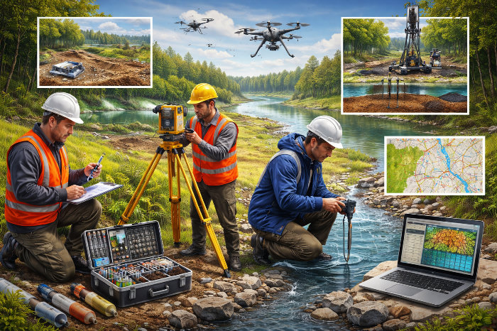
Modern geodesy uses a range of hardware and software tools that ensure high accuracy, speed, and convenience of work:
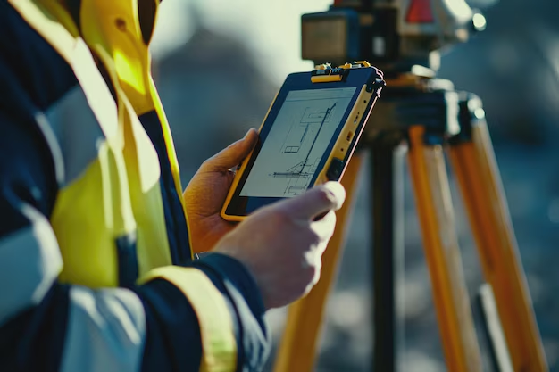
- Electronic total stations — instruments for measuring coordinates and angles, combining the functions of a theodolite and a rangefinder.
- GNSS receivers (GPS/GLONASS) — for rapid control network establishment and obtaining coordinates in a global coordinate system.
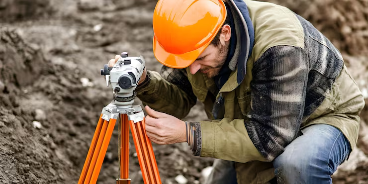
- Levels (optical and digital) — for obtaining precise elevation marks.
- Unmanned aerial vehicles (UAVs) — used for aerial photography and for producing orthophoto plans and digital terrain models (DTM).
- 3D laser scanning (LiDAR) — used for high-precision recording of complex objects and facades.
- Software — AutoCAD, Civil3D, MicroStation, Credo, Quantum GIS, and specialized packages for point cloud processing and digital model creation.
Combining these technologies reduces errors, speeds up delivery of results, and enables data integration into BIM processes.
5. Step-by-Step Work Plan (in More Detail)
Below is a detailed plan used by professional survey crews when preparing a project.
5.1 Preparatory Stage
- Collection of source documentation — cadastral maps, archival materials, previous surveys.
- Analysis of site accessibility, obstacles, vegetation, and equipment requirements.
- Coordination of arrival points, delivery routes, security, and safety procedures.
5.2 Field Works
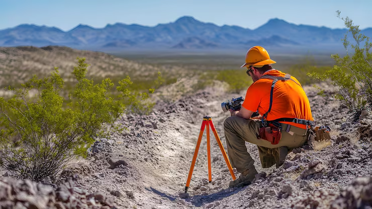
Field works are the main part, involving crew visits with equipment and taking measurements:
- Establishing a geodetic control network (installing benchmarks or using GNSS networks).
- Topographic surveys using total stations and/or UAVs.
- Verification and referencing of utility networks.
- As-built measurements after completion of construction stages.
5.3 Office Processing
A vital stage in which the data is processed and compiled into regulatory documentation:
- correction and filtering of GNSS data;
- creation of a digital terrain model (DTM);
- generation of an orthophoto plan if required;
- export to formats for designers (DWG, DXF, SHP, OBJ).
5.4 Preparation of Reporting Documentation
The client receives a complete package of documents: a topographic plan, as-built drawings, coordinate catalogs, instrument verification reports, and a work completion certificate.
6. Deliverables and Documentation
A typical set of documents after completing geodetic surveys includes:
- a topographic plan in paper and electronic form;
- a boundary plan (if land surveying was performed);
- a catalog of coordinates and elevations of control points;
- as-built drawings and measurement certificates;
- a geodetic support report;
- electronic models (DTM, point cloud, orthophoto).
7. Standards and Requirements
Geodetic work in Russia is regulated by a number of normative documents, including SNiP building codes, GOST standards, and methodological guidelines. The key requirements concern measurement accuracy, procedures for maintaining as-built documentation, and responsibility for its compliance.
When performing the work, it is important to consider:
- personnel clearances and qualifications (self-regulatory organization (SRO) approvals for engineering-geodetic works where required);
- instrument calibration and up-to-date certificates;
- requirements for data delivery formats for design and supervisory authorities.
8. How to Choose a Contractor for Geodetic Surveys
Choosing a contractor is a critically important step. Here is a checklist to help you make the right choice:
- Verify licenses and approvals. Confirm SRO membership, certificates, and staff qualifications.
- Experience and portfolio. Ask for examples of completed work, especially on sites with similar conditions.
- Equipment. Modern equipment guarantees accuracy. Ask about specific instrument models and software versions.
- A transparent estimate. Request a cost breakdown by stage and line item.
- Guarantees and liability. Written warranties for the work and commitments to correct inaccuracies.
- Reviews and references. Look for reviews in open sources and ask for client contacts for references.
9. Common Mistakes and Risks
Listed below are typical mistakes made by clients and contractors, along with ways to prevent them:
- Underestimating site complexity. Dense development, numerous utilities, and forest cover increase the workload. Solution: conduct a preliminary site visit and obtain a fact-based estimate.
- Incomplete source data. Missing archival information leads to repeat site visits. Solution: gather cadastral, archival, and design materials in advance.
- Cutting costs on staff qualifications. Hiring students or unqualified crews puts the client at risk of receiving inaccurate data. Solution: request copies of specialists' diplomas and certificates.
- Lack of oversight at work handover. Solution: participation of the client or their representative in acceptance and document review.
10. Practical Cases (Brief Overviews)
Below are three typical cases with descriptions of the tasks and the solutions adopted.
Case A: Private House, 800 m² Plot
Task: Preparing a topographic plan for a house design and utility routing.
Solution: A 1:500 topographic survey was performed, utility entry points were determined, and a boundary plan was prepared. Duration — 3 business days. Cost — RUB 22,500. Result — the design documentation was accepted without comments.
Case B: Reconstruction of an Industrial Building
Task: As-built survey of structures and equipment positioning.
Solution: A full set of as-built measurements was carried out, including 3D scanning of complex surfaces. Result — an accurate model for designing new assemblies and monitoring deformations.
Case C: Bridge Monitoring
Task: Setting up a system for monitoring deformations of load-bearing structures.
Solution: A benchmark network was installed and regular observations were conducted for 18 months, revealing seasonal changes and producing recommendations for pier repairs.
11. Frequently Asked Questions (FAQ)
- ❓ How long does a topographic survey take?
- It depends on the area and complexity: from 1–2 days for a 600–1,000 m² plot to several weeks for large or complex territories.
- ❓ Are geodetic surveys needed for a private house?
- Yes. Even for small projects, a survey and land demarcation help position the house correctly, calculate the foundation, and avoid disputes with neighbors.
- ❓ Is it possible to save money on geodetic work?
- Partially — for example, by reducing the scope of work or combining related tasks. However, cutting it out entirely is unacceptable: insufficient geodetic work leads to errors and additional costs.
- ❓ What does an as-built survey include?
- Recording the actual position of constructed elements relative to the design documentation: elevations, coordinates, axes, and reference ties.
- ❓ In what format are the results provided?
- Most often in DWG, DXF, and SHP, as well as in printed form. On request — export to BIM formats and point clouds.
12. Commercial Offer and Contacts
If you are planning construction or design work — start with geodetic surveys. We offer:
- prompt site visits and a preliminary estimate within 24 hours;
- comprehensive services: from topographic surveys to geodetic support;
- modern equipment and certified specialists;
- guarantees and support during work acceptance by supervisory authorities.
Phone: +7 900 595-05-25 • Email: lipetsk.razvitie@mail.ru
Conclusion
Geodetic surveys are not just a set of measurements — they are the foundation of proper design and safe construction. A comprehensive approach, modern equipment, and an experienced team will deliver accurate data and save you time and money at every subsequent stage.