

A modern engineering design firm acts not just as a drafting contractor, but as a key partner to the investor or developer. Cutting costs on design services or choosing an incompetent contractor inevitably leads to colossal financial losses during the construction phase: from discovering uncharted underground utilities while excavating the foundation pit, to receiving a negative conclusion from the state expertise board and failing to commission the building.
Core Functions and Tasks of an Engineering Design Firm
A comprehensive design firm manages the entire cycle of preparing a facility for construction. In the Russian Federation, this process is strictly regulated by the Urban Planning Code (ГрК РФ) and includes several fundamental stages, each requiring the involvement of specialized engineers.
1. Pre-Project Preparation and Site Audit
Before any physical work begins, specialists conduct an urban planning audit of the land plot. This involves analyzing the Urban Development Plan of the Land Plot (UDPLP / ГПЗУ), land use and development rules, and the municipal master plan. During this stage, hidden constraints are identified: sanitary protection zones, water protection areas, or utility easements. Early auditing allows the client to understand whether it is fundamentally possible to place the desired facility on the selected site while meeting the required technical and economic indicators.
2. Execution of Engineering Surveys
No reliable project can be created without studying the natural conditions of the site. The design organization performs:
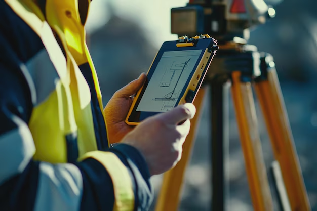
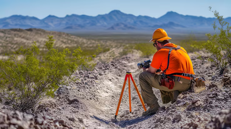
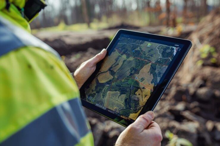
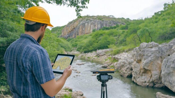
- Geodetic Engineering Surveys: Creating an accurate topographical base map (topo survey), recording the terrain, and charting above-ground and underground utilities. This is the foundation for positioning the building on the site.
- Geological Engineering Surveys: Drilling boreholes, taking soil samples, and conducting laboratory analysis. Geological data is critically important for selecting the foundation type and preventing structural settlement.
- Ecological Engineering Surveys: Assessing the state of the environment, radiation background, and soil/water pollution levels. These are mandatory for passing the environmental expertise.
- Hydrometeorological Engineering Surveys: Studying climatic conditions, surface water regimes, and the probability of site flooding.
3. Urban Planning Documentation: Territory Planning Project (PPT) and Land Survey Project (PMT)
In many cases, especially when constructing roads, communication networks, pipelines (linear facilities), or during comprehensive territorial development (KRT), urban planning documentation must be developed before architectural design begins. This includes the Territory Planning Project (PPT) and the Land Survey Project (PMT).
Territory Planning Project (ППТ): This is a foundational document that sets the development trajectory for an entire block or highway. It establishes red lines separating public zones from private development, defines zones for future capital construction facilities, and plans the development of transport, social, and engineering infrastructure. The PPT answers the macro-level questions of urban planning.
Land Survey Project (ПМТ): This document details the PPT decisions regarding land plots. The PMT defines the exact boundaries, coordinates, and areas of newly formed or modified land plots. Based on the PMT, cadastral work is carried out, plots are registered with Rosreestr (Federal Service for State Registration), and public easements for linear facilities are established.
Developing PPT and PMT is a lengthy process (taking 4 to 8 months) that requires public hearings, approvals from utility companies, and final approval by the head of the local administration. Without approved urban planning documentation, an investor cannot obtain a Building Permit for facilities subject to Article 41.3 of the Urban Planning Code.
4. Architectural and Engineering Design (Stages "P" and "R")
Once all initial data is collected, the direct design of the facility begins, which is divided into two stages:
- Project Documentation (Stage P): Developed strictly in accordance with Government Decree No. 87. The text and graphic sections describe the main architectural, structural, technological, and engineering solutions. Stage "P" is submitted to the state or non-state expertise board to verify compliance with safety standards (SNiP, GOST, SP).
- Working Documentation (Stage R): These are detailed blueprints, equipment and material specifications, connection nodes, and local estimates. Builders construct the facility directly from the working documentation. It accounts for every detail—down to the concrete grade and the cross-section of every wire.
BIM Modeling in Modern Engineering
Leading design firms today mandatorily utilize Building Information Modeling (BIM) technologies. An intelligent 3D model of the building is created, where every element possesses physical properties. BIM allows for the automatic detection of "clashes" (e.g., a ventilation duct intersecting a load-bearing beam) on a computer screen rather than on the construction site. This saves the client up to 15% of the budget by eliminating rework and accurately calculating material specifications.
The General Designer: Why a Single Point of Responsibility Matters
The market is full of highly specialized bureaus: some do only architecture, others do only ventilation, and some only conduct geological surveys. If a client hires them separately, they take on the role of a coordinator. When errors occur, subcontractors shift the blame onto each other: foundation designers blame geologists for incorrect data, and geologists blame designers for incorrect load calculations.
By acting as the General Designer, a company assumes 100% legal and technical responsibility for the entire project. The General Designer independently conducts surveys, develops PPT and PMT, completes all sections of the project documentation, defends them during the expertise phase, and conducts architectural supervision on site. Information is not lost during handovers, and any discrepancies are resolved within a single team.
Services Provided by "Razvitie-Lipetsk"
The company "Razvitie-Lipetsk" provides comprehensive design and engineering survey services for industrial, agricultural, warehouse, and infrastructure facilities in Lipetsk and throughout Russia. Our organization is a member of specialized Self- Regulatory Organizations (SRO) for both design and engineering surveys. Our staff is fully equipped with engineers listed in the National Register of Specialists (NOPRIZ).
Our in-house instrumentation base, fleet of drilling rigs, and application of modern BIM technologies allow us to execute technically complex projects with guaranteed expertise approval in tight timeframes.
Frequently Asked Questions (FAQ)
- At what stage should I contact a design firm?
- The ideal moment is during the land plot selection stage. Specialists from a design firm can conduct a preliminary urban planning audit, assess risks, identify protection zones, check the availability of engineering capacities (gas, electricity, water), and confirm the fundamental feasibility of realizing your investment project on the specific territory.
- What is the main difference between PPT and PMT in simple terms?
- The PPT (Territory Planning Project) is a large-scale map showing where roads will go, where buildings will stand, and where networks will run. The PMT (Land Survey Project) is a more detailed document that "slices" this territory into specific land plots with exact boundary coordinates so they can be placed on the cadastral register.
- Is it mandatory to conduct geological engineering surveys before construction?
- Yes, this is a strict legal requirement for all capital construction facilities. Without a geological report, it is impossible to correctly design a foundation. Attempting to save money on surveys and guessing the foundation requirements will, with 90% probability, result in either an unjustified over-expenditure on concrete and rebar, or cracks and structural failure due to soil settlement.
- How long does the entire cycle take, from surveys to receiving a positive expertise conclusion?
- Timelines are highly individual and depend on the scale and purpose of the facility. On average, engineering surveys take from 3 weeks to 1.5 months. Developing Stage "P" for a medium-sized industrial or commercial building takes 2 to 4 months. Passing the expertise board takes another 1 to 2 months. If the development and approval of PPT and PMT are required, an additional 4-6 months must be added for regulatory administrative procedures.