

For any industrial enterprise, commercial organization, or developer, cadastral tasks are inextricably linked with the registration of legal rights to land, the division of large production sites, the legal commissioning of new buildings or structures, as well as the registration of complex engineering networks, the establishment of servitudes, or protection zones (ZOUIT).
By the search query "cadastral engineer Lipetsk", it is critically important for businesses to find not just an ordinary executor with a measuring device, but a highly qualified specialist. Such an expert must be able to deeply analyze the initial title documents, choose the only correct legal procedure, and prepare absolutely error-free information for entering into the Unified State Register of Real Estate (EGRN). The legal purity of the enterprise's assets, protection from fines, and the absence of exhausting disputes with adjacent land users directly depend on the quality, completeness, and accuracy of this data.
Who is a cadastral engineer and what are they responsible for?
A cadastral engineer is a certified specialist, a natural person, who must be a member of a specialized self-regulatory organization (SRO) of cadastral engineers and have a valid qualification certificate. Their direct responsibilities include performing precise geodetic measurements on site, determining the coordinates of objects, deep legal analysis of land management documentation, as well as preparing final reports: boundary and technical plans, and inspection reports.
The engineer certifies all prepared documents with their personal enhanced qualified electronic signature (UKEP). By doing this, they confirm the completeness of the data and bear personal responsibility for its authenticity, up to administrative and criminal prosecution for entering deliberately false information. This specialist can work either as an independent individual entrepreneur or as a staff member of a legal entity. It is important to remember that the final decision on registration and accounting is made by the state registrar of Rosreestr. The engineer is responsible precisely for the high-quality foundation — the documents on the basis of which the legal examination is conducted.
What cadastral works do legal entities need?
By the query "cadastral works Lipetsk", large enterprises, network companies, and developers most often require the following highly specialized services:
- formation of new plots, division of large-scale industrial territories, merging of adjacent land uses, and their legal redistribution;
- precise clarification of the boundaries of existing assets and correction of identified registry errors in the EGRN data that block construction or transactions;
- preparation of detailed technical plans for the registration of production shops, warehouse complexes, hydraulic structures, and objects of incomplete construction;
- cadastral accounting of current changes after reconstruction, complex redevelopment, or technical modernization of capital objects;
- registration of linear objects: highways, main pipelines, gas networks, power cable lines, and fiber-optic routes;
- development and subsequent approval of layout schemes for land plots on the cadastral plan of the territory (SRZU on KPT);
- legal establishment of public servitudes for laying communications and registration of zones with special conditions for the use of the territory (ZOUIT), including sanitary protection and security zones;
- preparation of justified inspection reports for the legal deregistration of destroyed, dismantled, or ceased-to-exist objects from cadastral accounting (to stop the accrual of taxes).
For the implementation of large investment projects, it is advisable to perform cadastral works in Lipetsk in parallel with the development of territory planning and surveying projects (PPT and PMT), engineering surveys, and architectural and construction design. The early involvement of an experienced engineer helps to avoid fatal contradictions between project documentation, the real situation on the site, and the strict requirements of Rosreestr right from the start.
What does land surveying include?
Land surveying in Lipetsk and the Lipetsk region is a multi-stage complex of engineering-geodetic and cadastral works performed for the legal formation of a new plot, clarification (restoration) of the boundaries of existing land use, as well as for changing the configuration of land assets (division, merging).
The standard surveying process for the needs of a legal entity is strictly regulated and includes:
- collection, systematization, and deep legal analysis of initial documents, archival master plans, and current extracts from the EGRN;
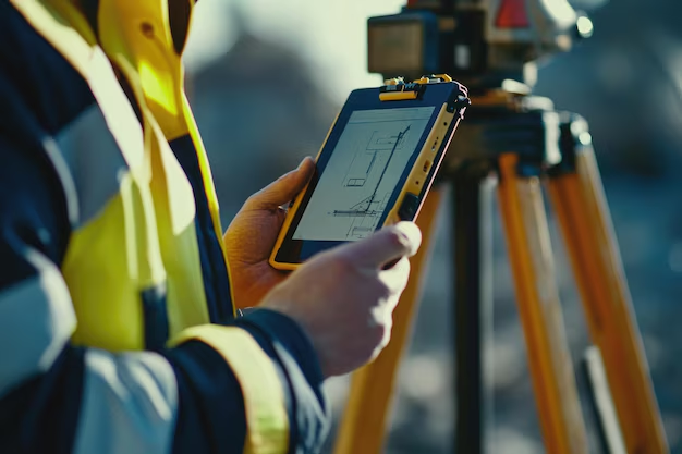
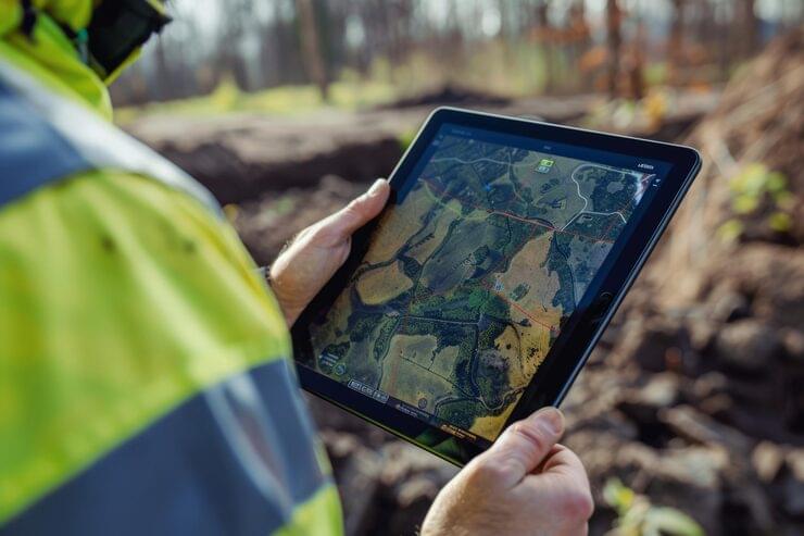
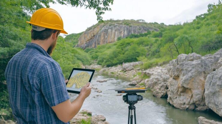
- field instrumental measurements on the object using verified high-precision satellite equipment (GPS/GLONASS) and electronic total stations, calculation of the coordinates of turning points;
- office processing of field data, drawing contours, and strict verification of possible overlaps, strip farming, or intersections with adjacent plots and red lines of urban planning regulation;
- mandatory coordination of boundaries with adjacent owners (neighbors) in situations expressly provided for by current land legislation;
- final formation of the boundary plan in a secure electronic XML format for its subsequent transfer to the state accounting system.
It must be taken into account that the result of surveying is a formalized legal document, not the physical installation of a fence or the automatic registration of ownership rights in the registry. Upon detecting boundary overlaps, finding old errors in the EGRN, or the aggravation of a territorial dispute with neighbors, additional coordination, lengthy pre-trial work, or a full-fledged judicial land management examination may be required.
Cadastral engineer Lipetsk: prices and calculation procedure
There is no single approved state price for commercial cadastral services. In accordance with Article 36 of Federal Law No. 221-FZ, the cost of work is determined exclusively by mutual agreement of the parties in the contract and is fixed in a firm estimate. Therefore, when entering the search query "cadastral engineer Lipetsk prices", the customer needs to understand: a justified commercial proposal is formed only after the initial audit of the task.
The final cost of services for business is directly affected by:
- the type, functional purpose, and total number of real estate objects on the site;
- the area, geometric configuration, and number of characteristic turning points of the plot boundary;
- the total length and complexity of tracing the registered linear object;
- the completeness, quality, and relevance of the initial documents provided by the customer;
- the objective need for large-scale field surveys and lengthy interdepartmental approvals;
- the presence of overlaps, systemic registry errors, or hidden land conflicts;
- the need for comprehensive registration support (submission of documents) and prompt elimination of possible comments from Rosreestr experts.
An important legal clarification: in the Lipetsk region, there is an order of the Ministry of Trade and Pricing Policy dated 15.05.2025 No. 4-c, establishing maximum price limits for cadastral works. However, these tariffs are relevant only for individuals and specific household objects — plots for personal subsidiary farming (LPH), gardening, garages for personal needs, and individual housing construction (IZHS). For such objects, the maximum cost of a boundary plan is 9,972 rubles. This is an upper limit to protect citizens, not a universal rate.
For industrial bases, extended engineering networks, warehouses, servitudes, and zones with special usage conditions (ZOUIT), the price is always calculated individually. Here, the main role is played by the scale and technical complexity of the object, and not just the status of the legal entity.
How to choose a professional cadastral engineer
The query "cadastral engineers Lipetsk" opens dozens of advertising websites from private individuals and companies. To minimize the risks of suspensions and refusals in Rosreestr to zero, before signing a contract, you should analyze the contractor according to five criteria:
- Legal status. The specialist must necessarily be a member of an SRO and be listed in the current state register of cadastral engineers on the Rosreestr portal.
- Professional statistics. The performance statistics of each engineer are publicly available in the Rosreestr register: the share of successfully registered cases, the number of suspensions, and direct refusals. This is the best indicator of competence.
- Specific experience. Registration of an industrial site, a gas pipeline, or a complex security zone requires unique experience, which is often lacking in specialists engaged solely in processing summer cottage plots.
- Analytical approach. A true professional always requests and analyzes cadastral numbers and extracts before announcing the final price and giving 100% guarantees on deadlines.
- Detailed contract. The document must explicitly state: the final format of the result, execution deadlines, a firm estimate without sudden surcharges, as well as warranty obligations for the free correction of the registrar's comments.
A low price tag at the start often turns out to be a marketing trap. Without a preliminary analysis, such a price may mean that the departure of a geodetic team, the publication of coordination notices, burning a disk for the MFC, or correcting old coordinate errors will be billed separately.
What result should the customer get
The final result of the work is a fully prepared boundary plan, technical plan, or inspection report, generated strictly for the stated purpose. The main and only significant form of transferring the result for Rosreestr is an electronic XML document, which is transferred to the customer on a physical medium (CD) or via secure communication channels, and necessarily signed with the UKEP of the contractor. The usual paper copy with blue seals is prepared optionally if it is stipulated in the contract.
During the acceptance of the performed work, the customer should carefully check:
- the type and intended purpose of the prepared document;
- the absolute accuracy of the spelling of cadastral numbers, addresses, and key characteristics of real estate objects;
- coordinates, calculated areas, and visual configuration of boundaries on the graphic part of the plan;
- the presence of all mandatory appendices and a legally correctly executed act of coordinating boundaries with neighbors;
- one hundred percent compliance of the final result with the initial terms of reference;
- the presence of a positive protocol of preliminary automated verification (FLK), confirming the readability of the file by the Rosreestr system.
The main marker of a high-quality job is the ability to freely use the transferred document for accounting actions without suspensions due to technical flaws. At the same time, it is important to realize: even an ideally formatted plan cannot automatically erase fundamental contradictions in old administration decrees, cancel a current legal dispute, or replace a missing project. A competent engineer must argumentatively warn the customer about all such legal restrictions even at the stage of preliminary consultations.
Cadastral works at "Razvitie-Lipetsk"
The engineering company "Razvitie-Lipetsk" comprehensively and on a turnkey basis performs cadastral works of any degree of complexity in the city of Lipetsk and the Lipetsk region. When implementing projects with large-scale infrastructural and extended linear objects, our geography covers the entire Central Federal District (CFD). The company's key customers are large industrial enterprises, resource-supplying organizations, agricultural holdings, and professional developers.
Our systematic approach allows customers to combine cadastral activities, topographic and geodetic surveys, development of territory planning and surveying projects (PPT and PMT), as well as comprehensive architectural and construction design within a single contract. This ensures perfect alignment and one hundred percent coordination of the legal boundaries of the plot with the actual urban planning situation and the working draft of the future object.
To receive a detailed commercial proposal, simply send us the cadastral numbers of the objects of interest, copies of title documents, a brief description of the expected result, and specific nuances of your site. Our specialized engineers will analyze the input data in detail, select the optimal legal procedure, assess potential risks, and prepare a firm estimate with transparent deadlines for each stage.