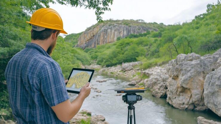


Quality Control of Geological Surveys: The Key to Safe Construction
Quality control of geological surveys is a mandatory stage in preparing for the construction of any facility. Geological studies determine the composition and structure of soils, the groundwater level, and the presence of underground voids and potentially hazardous processes. Controlling this work ensures the reliability of the data on which designers base their decisions about the foundation, engineering systems, and other structural elements of the building.
Why Quality Control of Geological Surveys Is Needed
The main goal of quality control is to ensure that the studies comply with regulatory requirements and that the data obtained is accurate. Errors at the geological survey stage can lead to soil subsidence, foundation cracks, structural deformation, and even emergencies. Quality control helps identify deficiencies in field or laboratory work in a timely manner, correct them, and avoid costly mistakes during construction.
Main Control Objectives
- verifying that the research methods comply with regulatory requirements;
- monitoring the completeness and accuracy of field work;
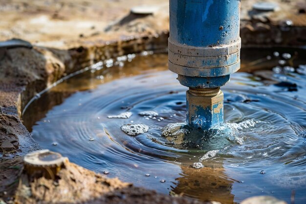
- assessing the quality of laboratory testing of soils and water;
- analyzing and verifying documentation, diagrams, reports, and calculations;
- recommendations for adjusting the survey program where necessary.
Comprehensive quality control eliminates unreliable data and guarantees that designers receive objective information for safe design.
Methods of Geological Survey Quality Control
Control is carried out at both the field and office stages. The main methods include:
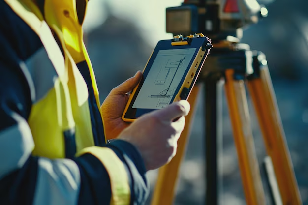
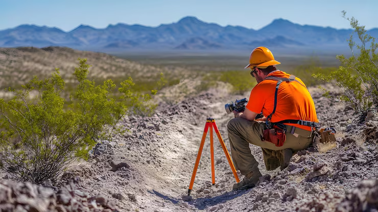
- specialist site visits to inspect drilling and sounding work;
- repeat measurements and tests to verify the data;
- verification of laboratory methods and sample analysis results;
- comparison of data with archival materials and topographic plans;
- an audit of the reporting documentation and correctness of the conclusions.
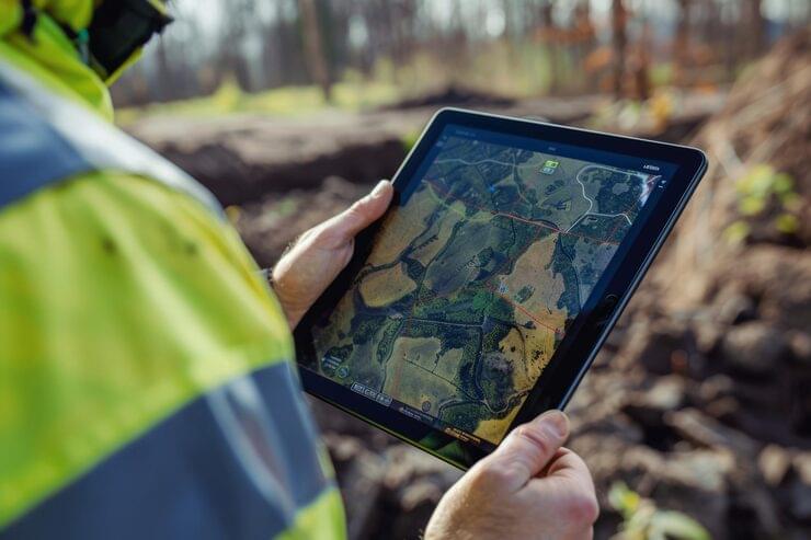
Modern technologies allow the use of digital data capture, geophysical methods, and remote monitoring to improve the accuracy and transparency of surveys.
Regulatory Framework
Quality control of geological surveys is regulated by SNiP building codes, SP codes of practice, GOST standards, and regional regulations. All work must be carried out by accredited organizations licensed to perform geotechnical investigations. The standards define requirements for the number of boreholes, drilling depth, testing methods, and preparation of reporting documentation.
Benefits of High-Quality Control
- increased reliability of design data;
- reduced risk of subsidence and structural deformation;
- construction savings through accurate foundation design;
- ensuring the safety of the future facility;
- construction approval with an official expert review conclusion.
Conclusion
Quality control of geological surveys is not a formality but an essential tool for ensuring construction safety and efficiency. Timely control makes it possible to identify errors, guarantee data accuracy, and minimize risks associated with soil and hydrogeological conditions. Professional quality control lays the groundwork for reliable and durable construction, protecting investors, designers, and the future occupants of the facilities.