

Before design work begins, it is essential to understand the site's topography, as well as the location of roads, buildings, and utilities. This data is obtained through engineering and geodetic surveys.
When searching for "Geodesy Lipetsk," clients are looking for a variety of services. Design requires a topographic basemap, construction demands staking out and as-built measurements, and facility operation involves deformation monitoring.
When Geodetic Services are Necessary
Engineering geodesy (surveying) accompanies a facility throughout its entire life cycle. Surveying works are performed:
- To evaluate the site and select the optimal location for the future facility;
- During the development of the master plan, territory planning projects (PPT), land survey projects (PMT), and design documentation;
- When obtaining technical specifications and coordinating the routing of new utility networks;
- For staking out axes and elevations on site, monitoring construction and installation works, and preparing as-built documentation;
- For monitoring the settlement, tilt, and deformation of capital structures during the operational period;
- Prior to the reconstruction, facility expansion, or large-scale landscaping of a territory.
Surveying provides designers and builders with precise coordinates and elevations. Errors at this stage can lead to utility intersections, incorrect vertical grading, building code violations, and additional financial costs.
Stages of Engineering and Geodetic Surveys
The workflow can be divided into three main stages, each requiring strict technological discipline.
1. Preparatory Stage
Specialists study the terms of reference, site information, archival materials, and the results of previous surveys. They then determine the exact survey boundaries, required scale, and level of detail. If necessary, extracts from urban planning databases and Rosreestr are requested.
2. Fieldwork
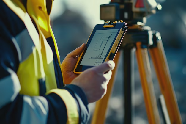
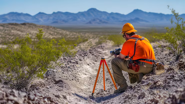
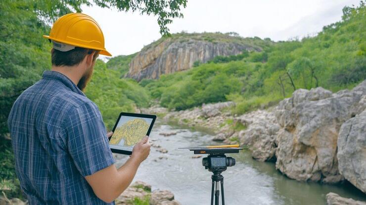
Surveyors travel to the site, inspect the territory, establish a horizontal and vertical survey control network, and perform measurements using robotic total stations, multi-frequency GNSS receivers, high-precision levels, or laser scanners. The terrain, existing structures, roads, landscaping elements, and visible utility outputs are recorded in detail.
3. Office Processing (Data Processing)
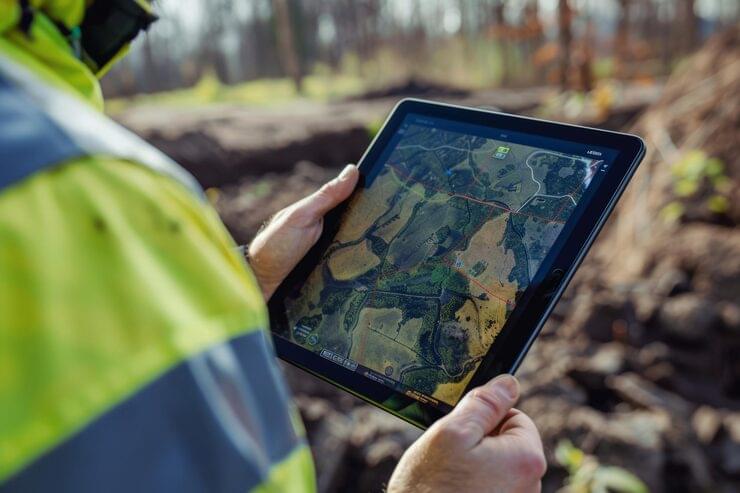
The collected field data is processed using specialized software. Engineers generate a topographic plan, build a Digital Terrain Model (DTM), and compile a detailed technical report. To confirm the accurate plotting of underground networks, the materials may be coordinated with operating utility companies. The final result is delivered to the client in convenient electronic formats: DWG (AutoCAD), DXF, and PDF.
What is a Topographic Survey?
A topographic survey is a comprehensive set of instrumental measurements used to create a detailed site plan at a specified scale. The plan objectively reflects the current position of objects, their configuration, and elevations.
A high-quality topographic plan must display:
- Terrain relief, contour lines, spot elevations, and slopes;
- All capital buildings, structures, and temporary facilities;
- Roads, pedestrian walkways, fences, enclosures, and landscaping elements;
- Vegetation and green spaces (including tree-by-tree surveying if specified in the terms of reference);
- Active above-ground and hidden underground utility networks (water supply, sewage, gas, communication cables, and power lines);
- Manholes, power transmission poles, heating chambers, and other vital infrastructure elements;
- Cadastral property boundaries based on data provided by Rosreestr.
It is crucial to understand: a topographic survey does not establish legal property boundaries and does not replace a boundary plan. Forming a new land plot, clarifying disputed boundaries, or registering an object with the cadastral registry requires entirely different procedures known as cadastral works.
When a Topographic Survey is Required
Requests for "Topographic survey Lipetsk" are most frequently made to us before the design phase of any capital building or utility network begins. A topographic survey is vitally necessary:
- To develop comprehensive project and working documentation;
- When preparing the site layout scheme (SPOZU);
- For the safe design of incoming utility networks, overpasses, and roads;
- During site planning, vertical grading, and landscape design;
- To accurately tie a new facility into existing dense surrounding structures;
- For the large-scale reconstruction of industrial, warehouse, and commercial sites;
- To update and revise previously executed engineering and topographic plans.
The validity period of a topographic plan is limited and, according to regulations, stands at 2 years (or less if the terrain has changed by more than 35%). An outdated plan must be verified: new buildings, illegal structures, hidden networks, or significant terrain changes may have appeared on the site. If the situation has altered, the survey materials must be updated.
How the Survey Scale is Chosen
The scale directly depends on the drawing's purpose and the required level of detail. A 1:500 scale is most frequently used for designing capital buildings, industrial sites, and dense utility networks. For developing large suburban territories, fields, and extensive linear facilities, less detailed scales are applied—such as 1:1000, 1:2000, and others.
Scale requirements may be strictly dictated by the terms of reference, the Chief Project Engineer (CPE), or the state organization accepting the materials for expert review. The larger the chosen scale, the more detailed the final plan will be, resulting in a greater physical volume of fieldwork.
The Benefits of an Accurate Topographic Basemap
A high-quality topographic survey helps properly position the facility on the terrain, select optimal zero elevations, calculate the earthworks balance, and account for all existing utilities. For the client and developer, this means:
- Minimizing rework and adjustments to design solutions;
- Reducing the risk of accidentally damaging third-party utilities during excavation;
- Highly accurate and honest earthwork excavation volumes in cost estimates;
- Excellent coordination among all related sections of the architectural project;
- A convenient and reliable digital foundation for future BIM design.
It is best to agree on the survey boundaries, scale, and detailed scope of work with your design engineer in advance; otherwise, an additional site visit by the survey crew may be required, leading to lost time.
Geodesy and Topographic Surveying at "Razvitie-Lipetsk"
The engineering company "Razvitie-Lipetsk" performs comprehensive geodetic surveys for area, industrial, and linear facilities of any complexity. Our team promptly conducts topographic and construction as-built surveying, locates hidden underground utilities, performs geotechnical monitoring, and creates precise three-dimensional digital terrain models.
We utilize modern robotic total stations, high-precision electronic levels, multi-frequency GNSS receivers, and laser scanning systems. It is highly convenient and cost-effective to combine engineering geodesy with geological, environmental, and hydrometeorological surveys under a single contract.
To receive a quick cost estimate for the work, please send us the cadastral number, site scheme or coordinates, approximate area, purpose of the survey, required scale, and terms of reference (if available). Our experienced specialists will promptly clarify the survey boundaries, approve the composition of the final graphic deliverables, and propose the optimal format for executing geodetic works to fit your budget.