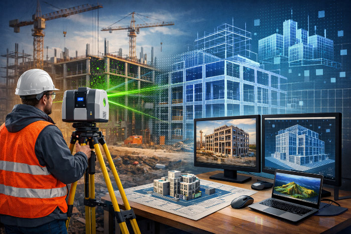


In the professional community, I often hear the opinion that terrestrial and handheld scanning are the same thing.
This is not entirely true.
Indeed, they work with the same type of data — a point cloud, but that is largely where the similarity ends.
Let's take a closer look:
Both methods:
- use laser pulses to obtain coordinates;
- generate point clouds suitable for 3D modeling;
- are used when surveying existing objects;
- integrate into CAD and BIM/TIM environments;
- allow work without direct contact with the object.
- It is precisely because of this external similarity that they are often considered interchangeable.
The differences lie in the principles of positioning and accuracy control.
A detailed analysis of these will be given in the table below
In practice, the optimal result is achieved by combining methods:
- handheld — for rapid coverage,
- terrestrial — for capturing key zones and reference elements.
Terrestrial and handheld laser scanning are not competitors or equivalents.
They are different tools, each with its own nuances.
The next post covers the third type — aerial laser scanning.