

In engineering surveys, this is no longer an "innovative option," but a technology essential for a modern company. A reliable source of baseline data for design, construction, and operation.
Today we work with three types of laser scanning:
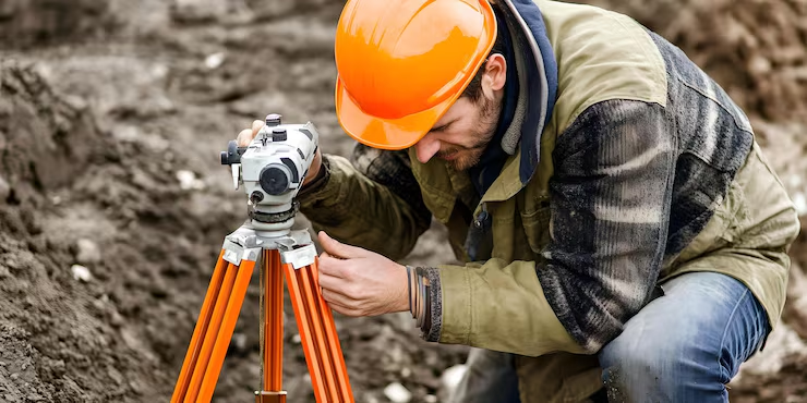
- terrestrial (ground-based),
- handheld/mobile,
- aerial.
Each of them has its own scope of application, accuracy, and economics,
and, importantly, its own regulatory framework.
For the Client and the contractor, laser scanning means:
reduced design risks,
control over the actual condition of the object,
faster decision-making,
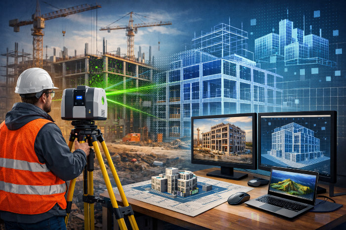
proper integration into BIM/TIM.
It is no coincidence that in recent years a regulatory framework governing this type of activity has emerged:
- GOST R 71863-2024 — general provisions for laser scanning and BIM/TIM data;
- GOST R 70689-2023 — roads and infrastructure;
- GOST R 72225-2025 — terrestrial laser scanning;
- GOST R 72263-2025 — aerial laser scanning (effective from 01.01.2026);
- Order of the Ministry of Construction No. 221/pr — methodology for calculating costs in government procurement.
In effect, the state has established:
point clouds, 3D models, and digital surfaces are an acceptable and verifiable result of engineering surveys.
I plan to break down each type of scanning:
what it provides, how it is performed, where it is needed, and where it must not be used.