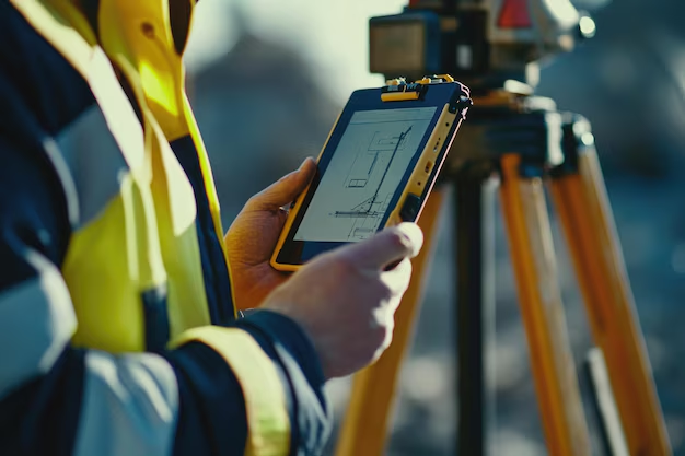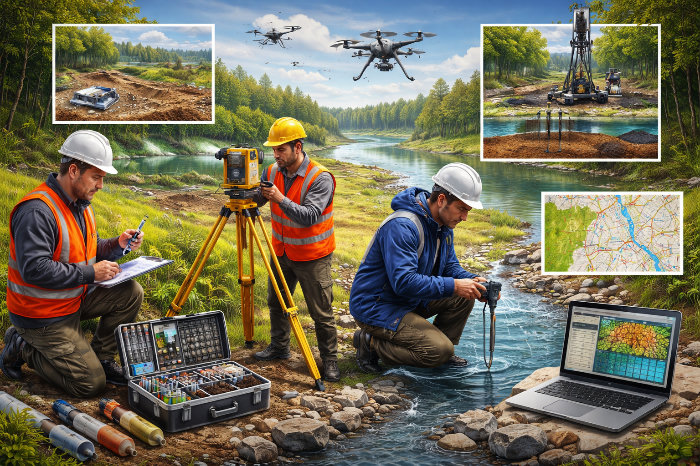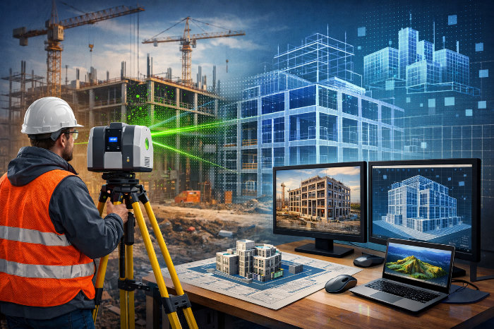


This technology makes it possible to collect a point cloud while in motion and immediately generate a 3D model of the object.
No tripod, no lengthy staking-out, including in areas without GPS.
This gives our team important advantages:
1. Speed.
What used to take a day or two of fieldwork can now be completed in hours.
The scanner collects hundreds of thousands of points per second and allows covering large volumes — from buildings to linear objects — several times faster.
2. Flexibility in work: allows access to sites where classical surveying is either time-consuming or inconvenient:
- operating facilities
- confined sites
- reconstruction and as-built surveys
- underground and enclosed spaces
3. Autonomy.
It is now especially important that the equipment works without connectivity, without internet, and without GPS.
We are not dependent on site conditions: we can work in indoor spaces, tunnels, remote sites, without losing data quality.
4. High-level results.
We obtain not just a set of points, but a complete digital model of the object — one that can be used further: in BIM, for analysis, for verifying design decisions.
What this gives our clients.
- reduced timelines for surveys and measurements
- a fast start to design
- fewer missed elements and "blind spots"
- the ability to work on complex sites without added cost
- accurate and well-founded design decisions
SLAM is not a replacement for classical surveying, but a tool that enhances it.
When necessary, we use control points and GNSS to ensure the required accuracy.
In essence, we are moving from selective surveying to a complete digital model of the object.
Investment in updating our tools helps us perform work faster, more transparently, and reduce the number of errors at later stages.